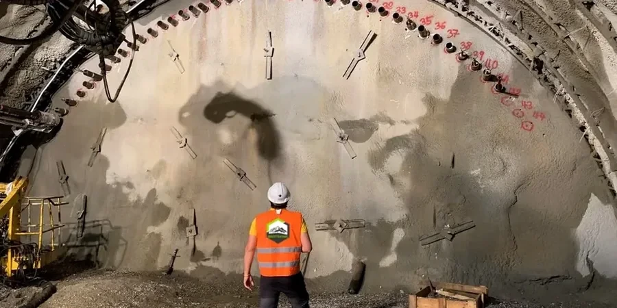
A Trimble S9 total station paired with wireless inclinometers and vibrating wire piezometers form the core of our monitoring arrays deployed across Kitchener-Waterloo sites. The equipment tracks lateral movement to the sub-millimeter while recording pore-water pressure shifts at 15-minute intervals, transmitting data through a dedicated mesh network that stays operational even when site wifi fails. Kitchener’s glacial till overburden—averaging 25 meters thick atop the Guelph Formation dolostone—creates a two-layer system that demands instrumentation calibrated for both cohesive diamict and weathered rock contact zones. We configure each monitoring plan to the specific excavation geometry, whether it’s a 12-meter cut for a King Street condo tower or a staged utility trench through the sandy lenses common near the Grand River moraine corridor.
Real-time monitoring in Kitchener’s glacial till isn’t about collecting data—it’s about catching the 3-millimeter movement that happens between Friday afternoon and Monday morning.
Methodology and scope
Site-specific factors
The most persistent mistake we see on Kitchener sites is contractors relying solely on visual inspection during bulk excavation, then acting surprised when a buried sand channel collapses the bench. The Waterloo Moraine stratigraphy is notoriously heterogeneous—lenses of saturated silty sand sit within stiff clay till, and a single unmonitored storm event can spike pore pressure enough to trigger a local failure. By the time cracks appear at ground surface, the damage to adjacent utilities or foundations is already irreversible. Without automated threshold alerts tied to the National Building Code of Canada’s deflection criteria, the excavation effectively has no early warning system, which puts the entire project schedule and insurance position at risk.
Reference standards
NBCC 2020 – National Building Code of Canada, CSA A23.3-19 – Design of Concrete Structures (monitoring annex), ASTM D7299-12 – Standard Practice for Verifying Inclinometer Performance
Associated technical services
Deep Excavation Instrumentation
Full arrays of inclinometers, piezometers, and settlement points installed prior to bulk excavation in downtown Kitchener. We handle the CSA-mandated baseline readings, establish project-specific trigger levels, and provide the cloud dashboard that the site team and the geotechnical engineer access simultaneously.
Adjacent Structure Monitoring
Pre-construction condition surveys combined with continuous optical and crackmeter monitoring for heritage buildings along Queen Street and mid-century structures throughout the Civic District. The program documents existing defects and tracks any vibration or settlement-induced changes during excavation and dewatering.
Typical parameters
Frequently asked questions
What is the typical cost range for excavation monitoring on a Kitchener infill project?
For a standard Kitchener infill lot with a 6- to 10-meter excavation and one adjacent building to protect, the monitoring program generally falls between CA$1,000 and CA$3,930 depending on the number of instruments, the required reading frequency, and the total monitoring duration. A site with multiple neighboring structures, deeper cuts, or complex groundwater conditions will land toward the upper end of that range.
Which Kitchener soil conditions trigger the most monitoring alerts?
The sandy interbeds within the Port Stanley Till are the primary culprit. These lenses hold perched groundwater that responds almost immediately to heavy rainfall or rapid snowmelt. We routinely see piezometer readings spike 20-30 kPa within six hours of a major storm, and that pulse can soften the interface between the sand and the overlying clay, causing incremental wall deflection before the contractor notices any visual change on site.
How frequently are monitoring readings taken during active excavation?
During bulk excavation and shoring installation, we configure the system to log readings every 15 to 30 minutes on critical inclinometer strings and every hour on settlement arrays. The data pushes to a web dashboard that refreshes continuously. If any sensor exceeds 80% of its threshold value, the platform sends SMS and email alerts to the engineer of record immediately, allowing same-day intervention. More info.